Product Description
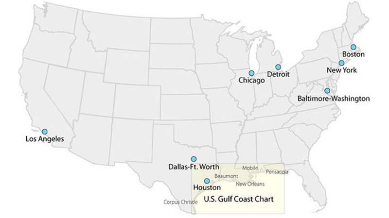
FAA Helicopter Route Charts are four-color charts that depict current aeronautical information useful to helicopter pilots navigating in areas with high concentrations of helicopter activity.
Information depicted includes:
- Helicopter routes
- Four classes of heliports with associated frequency and lighting capabilities
- NAVAIDS
- Obstructions
- Pictorial symbols, roads, and easily-identified geographical features

